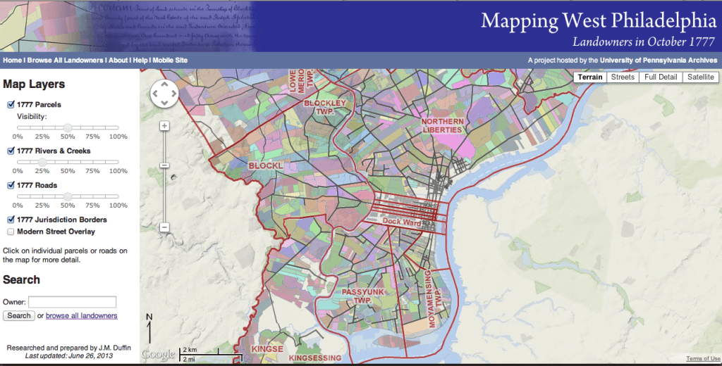
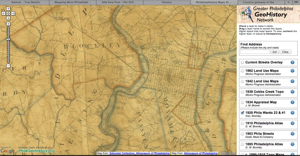
My research on indentured and enslaved servants’ lives has led me to mapping out their existence on historic maps of Philadelphia. I’m hoping to better understand their relation to the community, merchants, and manufacturers in their environment. I’ve found some useful resources to help recreate their world. They work best together: a little from one source, a little from another. Read another post on my project here.
Mapping West Philadelphia: Landowners in October 1777: This interactive site indicates the owners of plots throughout the larger Philadelphia city, including Northern Liberties, Germantown, Blockley and other towns.
Greater Philadelphia GeoHistory Network: This interactive site will overlay historic maps with modern streetmaps. Its oldest map is from 1808 so it’s a little late for my work, but it certainly could be expanded with other maps. It’s a project of the Philadelphia Area Consortium of Special Collections Libraries (PACSCL)
Norman B Leventhal Map Center at the Boston Public Library: A repository of great maps not just from Philadelphia, but all over the colonies.
And the result are the maps I’m creating by decade of the servant women living throughout the neighborhood.


![Map of female servants from runaway advertisements [incomplete] in 1770s Philadelphia made by Rebecca Fifield using John Reed's 1774 map.](https://thestillroomblog.com/wp-content/uploads/2013/06/Screen-Shot-2013-06-29-at-8.47.43-AM.png)